Payl:Belgium relief location map.jpg

Gidak-on ning maong paunang tan-aw: 689 x 599 ka mga piksel. Uban pang mga resoluyon: 276 x 240 ka mga piksel | 552 x 480 ka mga piksel | 883 x 768 ka mga piksel | 1,136 x 988 ka mga piksel.
Tibuok resolusyon (1,136 × 988 pixels, size sa payl: 255 KB, MIME type: image/jpeg)
Mubong sugid:
| Camera location | | View this and other nearby images on: OpenStreetMap |
|---|
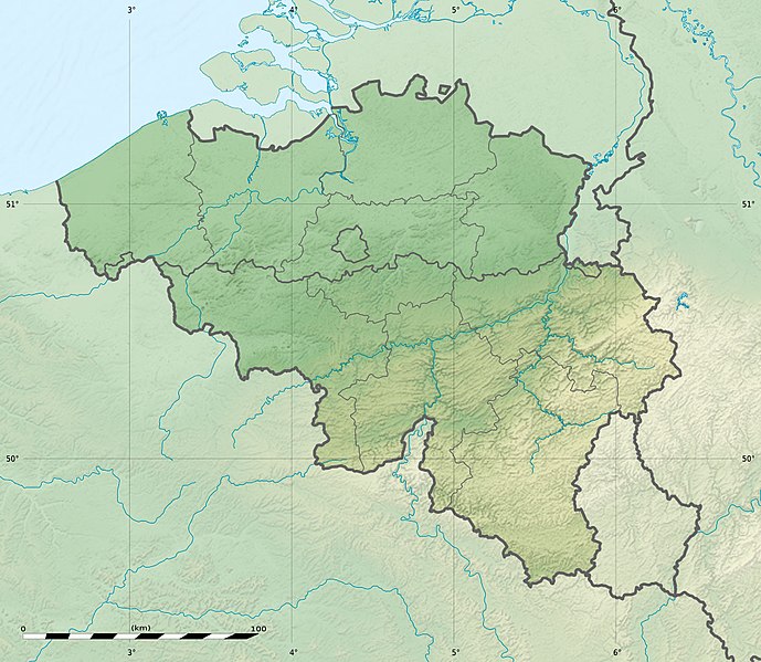
| Deskripsyon | Deutsch: Relief Positionskarte von Belgien English: Physical location map of Belgium, for geo-location purposes. Français : Carte physique vierge de la Belgique, destinée à la géolocalisation. Scales:
Equirectangular projection, WGS84 datum
Geographic limits of the map:
| ||
| Petsa | |||
| Gigikanan | Topographic background map: Own work
| ||
| Tagsulat | Eric Gaba (Sting - fr:Sting) and NordNordWest | ||
| Pagtugot (Paggamit pag-usab niini nga file) |
| ||
| Other versions |
|

 | This map has been made or improved in the German Kartenwerkstatt (Map Lab). You can propose maps to improve as well. |
Pagtugot
I, the copyright holder of this work, hereby publish it under the following licenses:
 | Gitugot ang pagkopya, pag-apud-apod o/ug pag-usab ning maong dokumento ubos sa mga termino sa GNU Free Documentation License, Version 1.2 o mas bag-ong bersiyon nga gimantala sa Free Software Foundation; nga walay Invariant Sections, walay Front-Cover Texts, ug walay Back-Cover Texts. Ang kopya sa lisensiya gilakip sa bahin nga giulohang GNU Free Documentation License. |
This file is licensed under the Creative Commons Attribution-Share Alike 3.0 Unported license.
- Libre ka:
- sa pagsabwag – sa pagkopya, pag-apod-apod ug pagsabwag sa hinimo
- sa pag-remix – sa pag-adap sa binuhat
- Ubos sa mosunod nga mga kondisyon:
- atribusyon – Kinahanglan nimo nga hatagan ang angay nga kredito, maghatag usa ka link sa lisensya, ug ipakita kung adunay mga pagbag-o. Mahimo nimo kini buhaton sa bisan unsang makatarunganon nga paagi, apan dili sa bisan unsang paagi nga nagsugyot nga gi-endorso ka sa licensor o ang imong paggamit.
- share parehas – Kung imong gi-remix, gibag-o, o gibase sa materyal, kinahanglan nimo nga iapod-apod ang imong mga kontribusyon sa ilawom sa parehas o katugma nga lisensya sama sa orihinal.
You may select the license of your choice.
Kaagi sa payl
I-klik ang petsa/oras aron makit-an ang hulagway sa payl niadtong panahona.
| Petsa/Takna | Thumbnail | Mga dimensyon | Tiggamit | Komento | |
|---|---|---|---|---|---|
| kasamtangan | 23:27, 23 Septiyembre 2010 | | 1,136 × 988 (255 KB) | Sting | == {{int:filedesc}} == {{Location|50|30|00|N|04|33|00|E|scale:1000000}} <br/> {{Information |Description= {{de|Relief Positionskarte von Belgien}} {{en|Physical location map of Belgium, for geo-location purposes.}} {{fr|Car |
Mga paggamit sa payl
Ang mosunod nga mga panid misumpay niining payl:
Global nga paggamit sa payl
Kining ubang wiki naggamit ning maong payl:
- Paggamit sa als.wikipedia.org
- Paggamit sa ar.wikipedia.org
- Paggamit sa ast.wikipedia.org
- Paggamit sa as.wikipedia.org
- Paggamit sa av.wikipedia.org
- Paggamit sa az.wikipedia.org
- Paggamit sa ba.wikipedia.org
- Paggamit sa be.wikipedia.org
- Paggamit sa bg.wikipedia.org
- Paggamit sa bn.wikipedia.org
- Paggamit sa bs.wikipedia.org
- Paggamit sa ca.wikipedia.org
- Paggamit sa ce.wikipedia.org
- Paggamit sa ch.wikipedia.org
- Paggamit sa ckb.wikipedia.org
- Paggamit sa cs.wikipedia.org
View more global usage of this file.
Metadata
🔥 Top keywords: Unang PanidPorn hubGajraj Bahadur NagarGumagamit:LsjbotEspesyal:AkongHisgotIkaduhang Gubat KalibotanonWikipedia:Mga pagpasabotPornhubWikipedia:TubaanWikipedyaEspesyal:PangitaPornograpiyaWikipedia:Mahitungod sa WikipedyaEspesyal:Bag-ongGiusabTabang:Mga sulodRidonglaboCarryMinatiPasseig de Lluís CompanysWikipedia:Talaan sa sulodAleppo GovernorateRosaryoWikipedia:Mga panghitaboWikipedia:Maayong pag-abot, higala!Banahaw Broadcasting CorporationMakara (bungtod sa New Zealand, Wellington, lat -41,43, long 175,38)Unang panidWalogNeddeSinugboanonContactSiyentipiko nga klasipikasyonEfferia coquillettiiTunga-tungang Kabisay-anEspesyal:AkongTampoGeneral SantosGobolka Woqooyi GalbeedQáqaqAkto Sa PaghinulsolUropa