Payl:Pays de la Loire region location map.svg

Size of this PNG preview of this SVG file: 619 x 599 ka mga piksel. Uban pang mga resoluyon: 248 x 240 ka mga piksel | 496 x 480 ka mga piksel | 793 x 768 ka mga piksel | 1,058 x 1,024 ka mga piksel | 2,115 x 2,048 ka mga piksel | 1,546 x 1,497 ka mga piksel.
Tibuok resolusyon (SVG nga payl, nominally 1,546 × 1,497 pixels, size sa payl: 771 KB)
Mubong sugid:
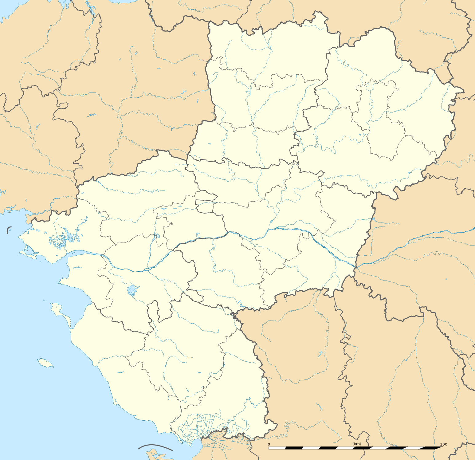
| Deskripsyon | English: Blank administrative map of the region of Pays de la Loire, France, as in February 2011, for geo-location purpose, with distinct boundaries for regions, departments and arrondissements. Français : Carte administrative vierge de la région des Pays de la Loire, France, telle qu'en février 2011, destinée à la géolocalisation, avec limite distincte des régions, départements et arrondissements. Estimated scale: 1:720,000 (precision: 180 m)
Geographic limits of the map:
| ||
| Petsa | |||
| Gigikanan | Kaugalingong trabaho
| ||
| Tagsulat | Eric Gaba (Sting - fr:Sting) | ||
| Pagtugot (Paggamit pag-usab niini nga file) |
| ||
| Other versions |
|

| Camera location | | View this and other nearby images on: OpenStreetMap |
|---|
Pagtugot
Eric Gaba, Wikimedia Commons user Sting, the copyright holder of this work, hereby publishes it under the following license:
This file is licensed under the Creative Commons Attribution-Share Alike 3.0 Unported license.
Attribution: Eric Gaba, Wikimedia Commons user Sting
- Libre ka:
- sa pagsabwag – sa pagkopya, pag-apod-apod ug pagsabwag sa hinimo
- sa pag-remix – sa pag-adap sa binuhat
- Ubos sa mosunod nga mga kondisyon:
- atribusyon – Kinahanglan nimo nga hatagan ang angay nga kredito, maghatag usa ka link sa lisensya, ug ipakita kung adunay mga pagbag-o. Mahimo nimo kini buhaton sa bisan unsang makatarunganon nga paagi, apan dili sa bisan unsang paagi nga nagsugyot nga gi-endorso ka sa licensor o ang imong paggamit.
- share parehas – Kung imong gi-remix, gibag-o, o gibase sa materyal, kinahanglan nimo nga iapod-apod ang imong mga kontribusyon sa ilawom sa parehas o katugma nga lisensya sama sa orihinal.
Kaagi sa payl
I-klik ang petsa/oras aron makit-an ang hulagway sa payl niadtong panahona.
| Petsa/Takna | Thumbnail | Mga dimensyon | Tiggamit | Komento | |
|---|---|---|---|---|---|
| kasamtangan | 13:51, 2 Marso 2011 | | 1,546 × 1,497 (771 KB) | Sting | == {{int:filedesc}} == {{Information |Description={{en|Blank administrative map of the region of Pays de la Loire, France, as in February 2011, for geo-location purpose, with distinct boundaries for regions, departments and arrond |
Mga paggamit sa payl
Ang mosunod nga mga panid misumpay niining payl:
Global nga paggamit sa payl
Kining ubang wiki naggamit ning maong payl:
- Paggamit sa als.wikipedia.org
- Paggamit sa ar.wikipedia.org
- Paggamit sa azb.wikipedia.org
- Paggamit sa bg.wikipedia.org
- Paggamit sa bn.wikipedia.org
- Paggamit sa cy.wikipedia.org
- Paggamit sa de.wikipedia.org
- Paggamit sa el.wikipedia.org
- Paggamit sa en.wikipedia.org
- Le Mans
- Nantes
- Saumur
- Angers
- Doué-la-Fontaine
- La Baule-Escoublac
- Saint-Nazaire
- Gennes, Maine-et-Loire
- Laval, Mayenne
- La Roche-sur-Yon
- Île d'Yeu
- Châteaubriant
- Noirmoutier-en-l'Île
- Mayenne (commune)
- Solesmes, Sarthe
- Savennières
- Les Sables-d'Olonne
- Fontenay-le-Comte
- Sucé-sur-Erdre
- Nesmy
- Ancenis
- Bouguenais
- Champagné, Sarthe
- Vue, Loire-Atlantique
- Nantes Atlantique Airport
- Cholet
- Le Puy-Notre-Dame
- Saint-Hilaire-de-Loulay
- Terval
View more global usage of this file.
Metadata
🔥 Top keywords: Unang PanidPorn hubKategoriyaEspesyal:PangitaTabang:Mga sulodWikipedia:Mga pagpasabotIkaduhang Gubat KalibotanonPornograpiyaEspesyal:Bag-ongGiusabWikipedia:TubaanGajraj Bahadur NagarRío PichiloEspesyal:AkongHisgotContactTabangQáqaqWikipedyaWikipedia:Mahitungod sa WikipedyaRosaryoWikipedia:Maayong pag-abot, higala!DindoriRepublika sa KonggoWikipedya:TabangPornhubWikipedia:Talaan sa sulodTuaiWikipedia:Mga panghitabo800Passer melanurusParthenocissus vitaceaTraci LordsCadmiumFulton County (kondado sa Tinipong Bansa, New York)Gobolka Woqooyi GalbeedAnimasyonNaked BoyNeauphle-le-VieuxFutai-damuPakighilawas