

Original file (SVG file, nominally 975 × 1,546 pixels, file size: 248 KB)
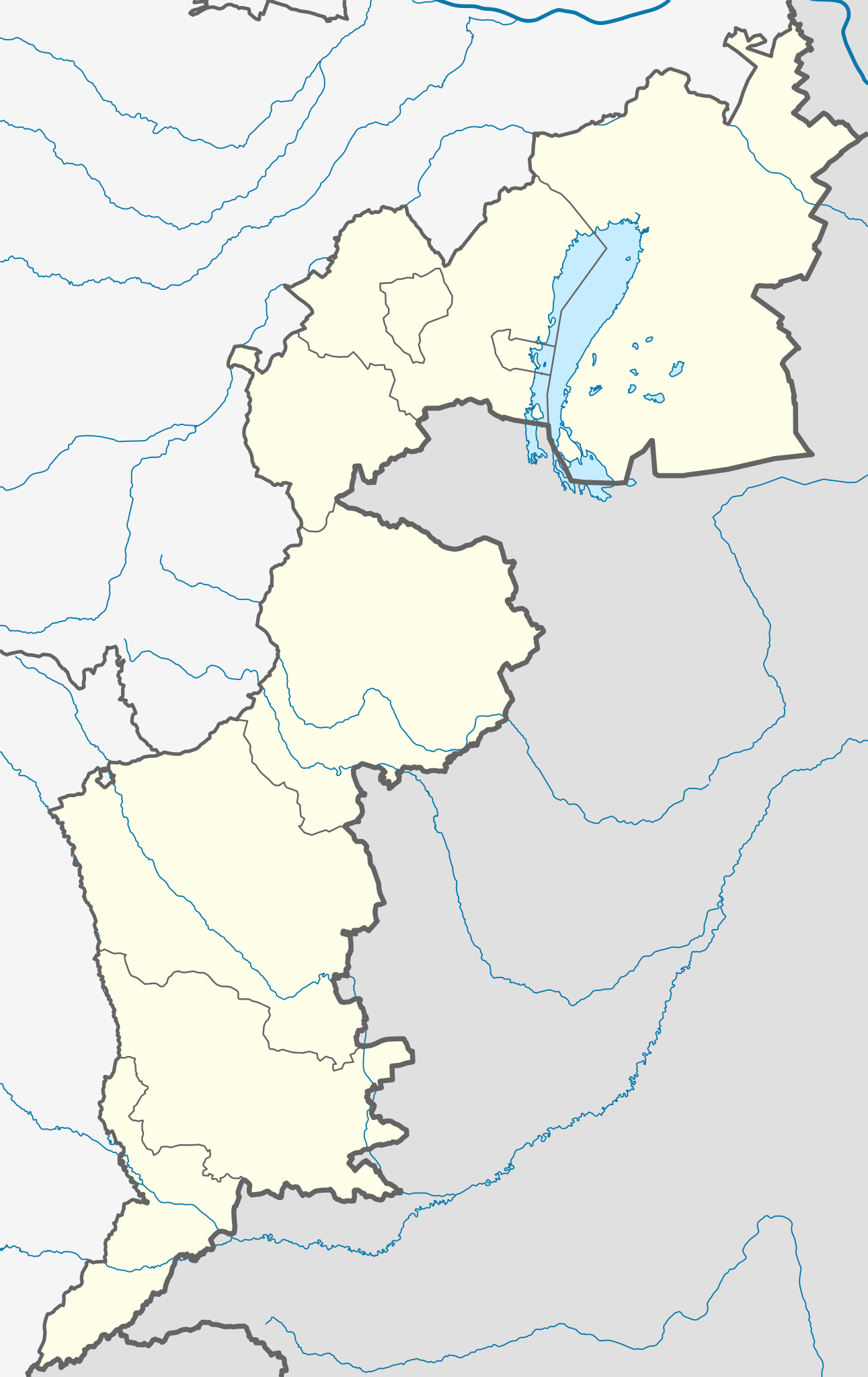
| DescriptionAustria Burgenland location map.svg | Deutsch: Positionskarte des Burgenlands Quadratische Plattkarte. Geographische Begrenzung der Karte:
English: Location map of Burgenland Equirectangular projection. Geographic limits of the map:
|
| Source | Own work, based on maps-for-free.com and File:Karte Aut Bgld MA.png This W3C-unspecified vector image was created with Inkscape . |
| Author | Rosso Robot |
| Other versions |
|
 | Permission is granted to copy, distribute and/or modify this document under the terms of the GNU Free Documentation License, Version 1.2 or any later version published by the Free Software Foundation; with no Invariant Sections, no Front-Cover Texts, and no Back-Cover Texts. A copy of the license is included in the section entitled GNU Free Documentation License.http://www.gnu.org/copyleft/fdl.htmlGFDLGNU Free Documentation Licensetruetrue |
Click on a date/time to view the file as it appeared at that time.
| Date/Time | Thumbnail | Dimensions | User | Comment | |
|---|---|---|---|---|---|
| current | 20:11, 25 February 2012 | | 975 × 1,546 (248 KB) | NordNordWest | correct projection |
| 20:08, 25 February 2012 |  | 975 × 1,546 (248 KB) | NordNordWest | upd, correct projection | |
| 09:42, 27 May 2009 |  | 493 × 837 (87 KB) | Rosso Robot | correction in order of the template colour change of same administrative layer | |
| 14:29, 23 May 2009 |  | 493 × 837 (88 KB) | Rosso Robot | uploaded plain-svg not inkscape-svg | |
| 14:28, 23 May 2009 |  | 493 × 837 (95 KB) | Rosso Robot | earased background picture | |
| 14:25, 23 May 2009 |  | 493 × 837 (95 KB) | Rosso Robot | {{Information |Description={{de|1=Positionskarte von Wien Quadratische Plattkarte. Geographische Begrenzung der Karte: * N: 48.13797° N * S: 48.82685° N * W: 16.97240° O * O: 16.17266° O}} {{en|1=Location map of Vienna Equi |
The following other wikis use this file:
View more global usage of this file.
