

Original file (860 × 691 pixels, file size: 185 KB, MIME type: image/png)
 | This map image could be re-created using vector graphics as an SVG file. This has several advantages; see Commons:Media for cleanup for more information. If an SVG form of this image is available, please upload it and afterwards replace this template with {{vector version available|new image name}}.It is recommended to name the SVG file “Roads-Canada-frame.svg”—then the template Vector version available (or Vva) does not need the new image name parameter. |
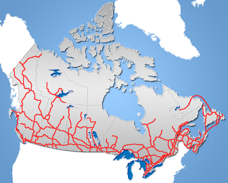
| DescriptionRoads-Canada-frame.png | Major Road Network of Canada (includes Ferry Routes) |
| Date | |
| Source | GIS data |
| Author | Qyd (talk · contribs) |
| Permission (Reusing this file) | All |
| Other versions | Image:TransCanadaHWY.png (Trans-Canada Highway), Image:Yellowhead route.png (Yellowhead Highway] |
| Public domainPublic domainfalsefalse |
| I, the copyright holder of this work, release this work into the public domain. This applies worldwide. In some countries this may not be legally possible; if so: I grant anyone the right to use this work for any purpose, without any conditions, unless such conditions are required by law. |
Click on a date/time to view the file as it appeared at that time.
| Date/Time | Thumbnail | Dimensions | User | Comment | |
|---|---|---|---|---|---|
| current | 19:58, 21 November 2006 | | 860 × 691 (185 KB) | Qyd | {{Information |Description=Major Road Network of Canada (includes Ferry Routes) |Source=GIS data |Date=Nov 2006 |Author={{User|Qyd}} |Permission=All |other_versions= }} Category:Maps of Canada |
More than 100 pages use this file.The following list shows the first 100 pages that use this file only.A full list is available.
View more links to this file.
The following other wikis use this file: