
Size of this PNG preview of this SVG file: 475 × 599 pixels. Other resolutions: 190 × 240 pixels | 380 × 480 pixels | 609 × 768 pixels | 812 × 1,024 pixels | 1,624 × 2,048 pixels | 1,060 × 1,337 pixels.
Original file (SVG file, nominally 1,060 × 1,337 pixels, file size: 114 KB)
Summary
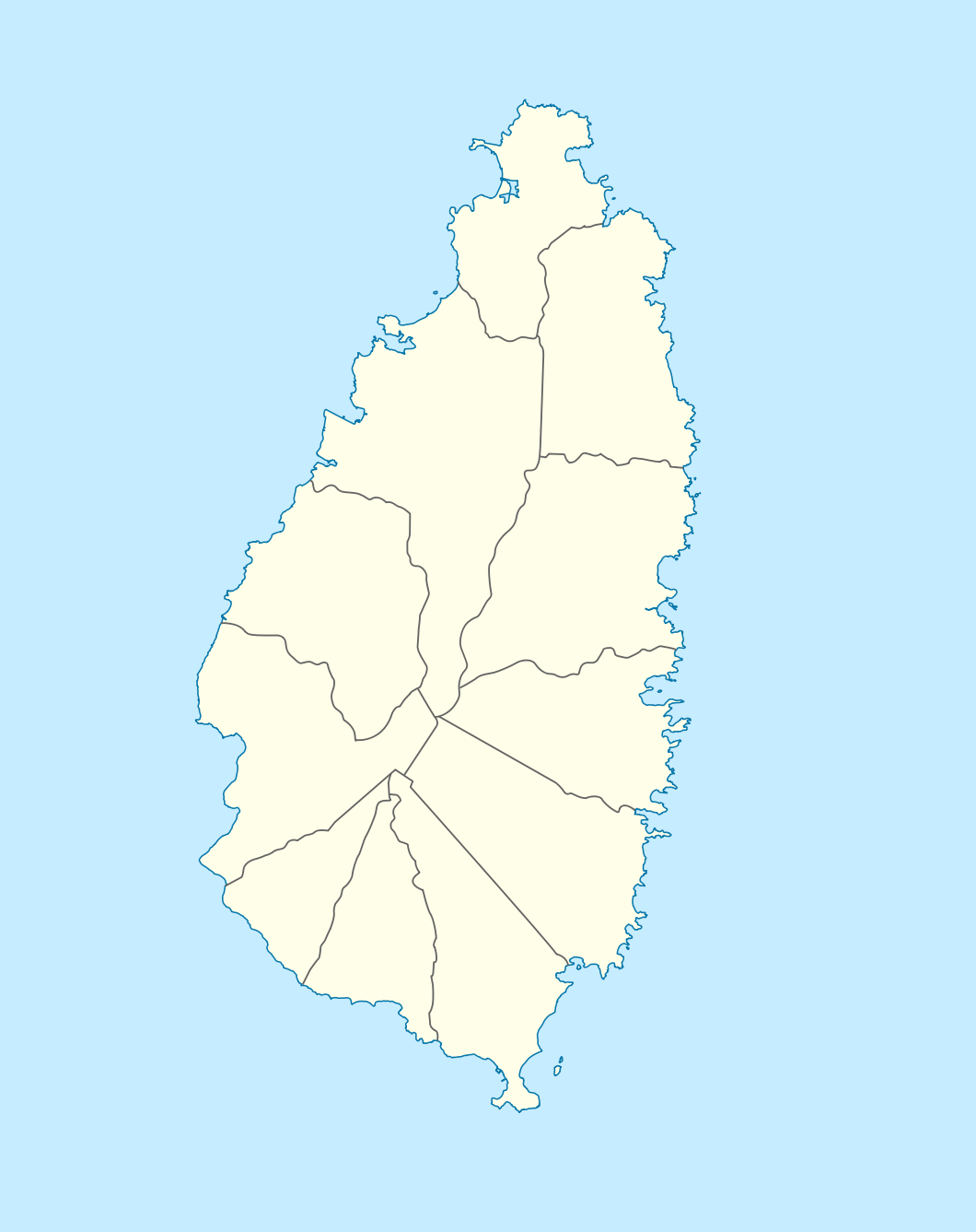
| Description | Deutsch: Positionskarte von St. Lucia Geographische Begrenzung der Karte:
English: Location map of Saint Lucia Geographic limits of the map:
| ||||||||||||
| Date | |||||||||||||
| Source | Own work, using | ||||||||||||
| Author | NordNordWest | ||||||||||||
| Permission (Reusing this file) |
|
 | This map has been made or improved in the German Kartenwerkstatt (Map Lab). You can propose maps to improve as well. |
File history
Click on a date/time to view the file as it appeared at that time.
| Date/Time | Thumbnail | Dimensions | User | Comment | |
|---|---|---|---|---|---|
| current | 18:16, 18 December 2009 | | 1,060 × 1,337 (114 KB) | NordNordWest | == {{int:filedesc}} == {{Information |Description= {{de|Positionskarte von St. Lucia}} Geographische Begrenzung der Karte: * N: 14.15° N * S: 13.66° N * W: 61.16° W * O: 60.76° W {{en|Location map of Saint Lucia}} |
File usage
The following pages on the English Wikipedia use this file (pages on other projects are not listed):
- Anse Mamin
- Au Tabor
- Babonneau
- Balembouche
- Barre Denis
- Bisée
- Bongalo
- Canaries, Saint Lucia
- Cap Point
- Cas-en-Bas
- Chassin
- Dame de Traversay
- Deglos
- Durandeau
- Four Roads Junction
- George F. L. Charles Airport
- George Odlum Stadium
- Hewanorra International Airport
- La Tourney
- List of cricket grounds in the West Indies
- Mabouya Valley
- Marc Marc
- Mon Repos, Saint Lucia
- Monchy, Saint Lucia
- Morne Ciseaux
- Piaye
- Pitons (Saint Lucia)
- Praslin Quarter
- Ravine Poisson
- Roseau, Saint Lucia
- Roseau Valley
- Sarot
- Ti Rocher, Castries
- Ti Rocher, Micoud
- Tourat
- Trois Pitons
- Vanard
- Vigie Beach
- User:G. Moore/sandbox
- Module:Location map/data/Saint Lucia
- Module:Location map/data/Saint Lucia/doc
Global file usage
The following other wikis use this file:
- Usage on af.wikipedia.org
- Usage on als.wikipedia.org
- Usage on an.wikipedia.org
- Usage on ar.wikipedia.org
- Usage on ast.wikipedia.org
- Usage on be-tarask.wikipedia.org
- Usage on be.wikipedia.org
- Usage on bg.wikipedia.org
- Usage on bn.wikipedia.org
- Usage on bs.wikipedia.org
- Usage on ceb.wikipedia.org
- Plantilya:Location map Saint Lucia
- Rat Island
- Rat Islet
- Saint Lucia (pagklaro)
- Pigeon Island
- Chopin Ridge
- Black Bay
- Battery Point
- Union River
- Mamin River
- Mount Marquis
- Blanche Point
- Punchbowl
- Albert Point
- Pigeon Point
- Mount Morton
- Mount Bellevue
- Scorpion Island
- Esperance River
- Soufrière Bay
- Soufriere
- Mahaut River
- Petit Trou
- Beaumont Point
- Bonhomme Point
- Brandon Point
- Caesar Point
- Cap Point
- Cross Hill
- Dauphin River
- Falaise Point
- Georgie Point
View more global usage of this file.
🔥 Top keywords: Main PageSpecial:SearchPage 3Wikipedia:Featured picturesHouse of the DragonUEFA Euro 2024Bryson DeChambeauJuneteenthInside Out 2Eid al-AdhaCleopatraDeaths in 2024Merrily We Roll Along (musical)Jonathan GroffJude Bellingham.xxx77th Tony AwardsBridgertonGary PlauchéKylian MbappéDaniel RadcliffeUEFA European Championship2024 ICC Men's T20 World CupUnit 731The Boys (TV series)Rory McIlroyN'Golo KantéUEFA Euro 2020YouTubeRomelu LukakuOpinion polling for the 2024 United Kingdom general electionThe Boys season 4Romania national football teamNicola CoughlanStereophonic (play)Gene WilderErin DarkeAntoine GriezmannProject 2025