

Original file (SVG file, nominally 300 × 160 pixels, file size: 531 KB)
| DescriptionMap - NL - Municipality code 0498 (2009).svg |
| ||||||
| Date | |||||||
| Source | own work , using CBS data | ||||||
| Author | Michiel1972 (talk) 22:49, 24 January 2009 (UTC) | ||||||
| Permission (Reusing this file) | Attribution ShareAlike 3.0 |
Click on a date/time to view the file as it appeared at that time.
| Date/Time | Thumbnail | Dimensions | User | Comment | |
|---|---|---|---|---|---|
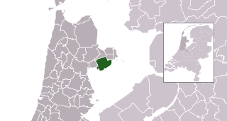
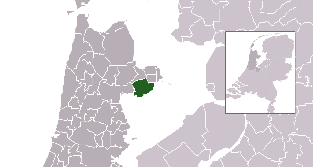
| current | 22:49, 24 January 2009 | | 300 × 160 (531 KB) | Michiel1972 | {{Information |Description=*Location maps for the 441 municipalities in the Netherlands. Boundaries 1/1/2009 *Automatically generated with script *File name contains "Municipality code" (CBS-code) as specified in: [http://www.cbs.nl/nl-NL/menu/methoden/c |
The following other wikis use this file:
This file contains additional information, probably added from the digital camera or scanner used to create or digitize it.
If the file has been modified from its original state, some details may not fully reflect the modified file.
| Short title | Nederlandse gemeente Drechterland |
|---|---|
| Image title | Database fields = "GM_NAAM" |

.svg)