

Original file (SVG file, nominally 546 × 1,000 pixels, file size: 217 KB)
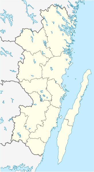
| DescriptionSweden Kalmar location map.svg | English: Location map of Kalmar County in Sweden. N-S stretching is 183%, geographic limits of the map:
Deutsch: Positionskarte von Kalmar län in Schweden. N-S-Streckung beträgt 183%, geographische Begrenzung der Karte:
|
| Date | |
| Source | Own work |
| Author | Erik Frohne |
| Other versions | Derivative works of this file: Öland Municipal centres.svg |
 | Permission is granted to copy, distribute and/or modify this document under the terms of the GNU Free Documentation License, Version 1.2 or any later version published by the Free Software Foundation; with no Invariant Sections, no Front-Cover Texts, and no Back-Cover Texts. A copy of the license is included in the section entitled GNU Free Documentation License.http://www.gnu.org/copyleft/fdl.htmlGFDLGNU Free Documentation Licensetruetrue |
Click on a date/time to view the file as it appeared at that time.
| Date/Time | Thumbnail | Dimensions | User | Comment | |
|---|---|---|---|---|---|
| current | 08:23, 27 January 2009 | | 546 × 1,000 (217 KB) | Erik Frohne | Waterline adjusted |
| 16:26, 18 January 2009 |  | 546 × 1,000 (216 KB) | Erik Frohne | Added some lakes Category:Location maps of Sweden | |
| 09:58, 17 January 2009 |  | 546 × 1,000 (183 KB) | Erik Frohne | {{Information |Description={{en|1=Location map of Kalmar in Sweden. N-S stretching is 183%, geographic limits of the map: * N: 58.20° N * S: 56.10° N * W: 15.10° E * E: 17.20° E }} {{de|1=Positionskarte von Kalmar in Sweden. N-S-Streckung beträgt 18 |
More than 100 pages use this file.The following list shows the first 100 pages that use this file only.A full list is available.
View more links to this file.
The following other wikis use this file:
View more global usage of this file.