
Thurne_marshes_-_geograph.org.uk_-_802588.jpg (640 × 426 pixels, file size: 55 KB, MIME type: image/jpeg)
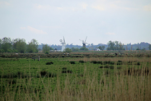
| DescriptionThurne marshes - geograph.org.uk - 802588.jpg | English: Thurne marshes View across the fields south of the River Thurne to the drainage mills at Thurne, from the river south of Horse Fen. |
| Date | |
| Source | From geograph.org.uk |
| Author | Pierre Terre |
| Attribution (required by the license) InfoField | Pierre Terre / Thurne marshes / |
InfoField | Pierre Terre / Thurne marshes |
| Camera location | 52° 42′ 08″ N, 1° 33′ 32″ E | View this and other nearby images on: OpenStreetMap |
|---|
| Object location | 52° 41′ 53″ N, 1° 33′ 23″ E | View this and other nearby images on: OpenStreetMap |
|---|
Click on a date/time to view the file as it appeared at that time.
| Date/Time | Thumbnail | Dimensions | User | Comment | |
|---|---|---|---|---|---|
| current | 10:04, 20 February 2011 | | 640 × 426 (55 KB) | GeographBot | == {{int:filedesc}} == {{Information |description={{en|1=Thurne marshes View across the fields south of the River Thurne to the drainage mills at Thurne, from the river south of Horse Fen.}} |date=2008-05-02 |source=From [http://www.geograph.org.uk/photo/ |
This file contains additional information, probably added from the digital camera or scanner used to create or digitize it.
If the file has been modified from its original state, some details may not fully reflect the modified file.
| _error | 0 |
|---|
_heading:202.00&language=en)
_heading:202.00&language=en)