

Original file (SVG file, nominally ७२२ × १,१०६ pixels, file size: ४२ KB)
This file is from Wikimedia Commons and may be used by other projects.The description on its file description page there is shown below.
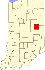
| DescriptionMap of Indiana highlighting Delaware County.svg | English: This is a locator map showing Delaware County in Indiana. For more information, see Commons:United States county locator maps. |
| Date | |
| Source | Own work: English: The maps use data from nationalatlas.gov, specifically countyp020.tar.gz on the Raw Data Download page. The maps also use state outline data from statesp020.tar.gz. The Florida maps use hydrogm020.tar.gz to display Lake Okeechobee. |
| Author | David Benbennick |
| Public domainPublic domainfalsefalse |
| I, the copyright holder of this work, release this work into the public domain. This applies worldwide. In some countries this may not be legally possible; if so: I grant anyone the right to use this work for any purpose, without any conditions, unless such conditions are required by law. |
Click on a date/time to view the file as it appeared at that time.
| Date/Time | Thumbnail | Dimensions | छ्य्लामि | Comment | |
|---|---|---|---|---|---|
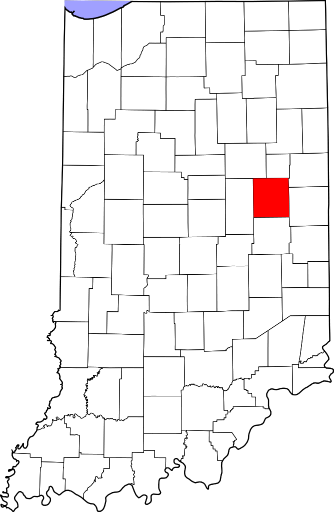
| current | २०:३८, १९ जुन २०२४ | | ७२२ × १,१०६ (४२ KB) | Nux | fix rendering (remove clipping) |
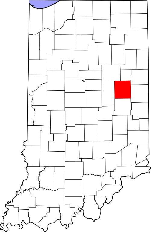
| १२:०९, १२ फेब्रुवरी २००६ |  | २,८८७ × ४,४२३ (५६ KB) | David Benbennick | {{subst:User:Dbenbenn/clm|county=Delaware County|state=Indiana}} |
The following 2 pages use this file:
The following other wikis use this file:
View more global usage of this file.
This file contains additional information, probably added from the digital camera or scanner used to create or digitize it.
If the file has been modified from its original state, some details may not fully reflect the modified file.
| ब्या | 721.77 |
|---|---|
| Height | 1105.85 |