
Oreeginal file (1,281 × 878 pixels, file size: 27 KB, MIME type: image/png)
This file is fae Wikimedia Commons n micht be uised bi ither waurks.The descreeption oan its file descreeption page thaur is shawn ablo.
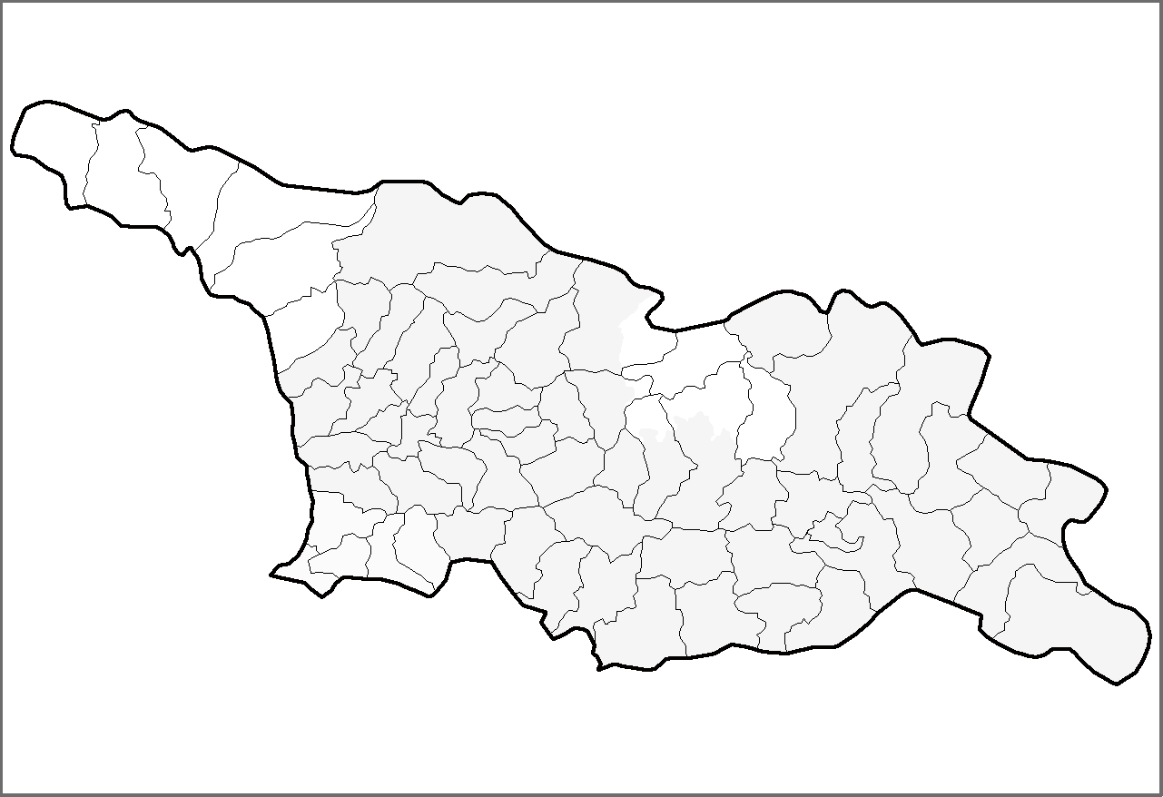
| DescreeptionGeorgia districts.png | Map of the districts of the country of Georgia. | |||
| Date | (UTC) | |||
| Soorce | Ain wirk | |||
| Author | Rarelibra | |||
| Permission (Reuisin this file) |
| |||
| Other versions | Derivative works of this file: Georgia districts extended.png |
| Public domainPublic domainfalsefalse |
| This work has been released into the public domain by its author, I, Rarelibra. This applies worldwide. In some countries this may not be legally possible; if so: I, Rarelibra grants anyone the right to use this work for any purpose, without any conditions, unless such conditions are required by law. |
Clap oan ae date/time fer tae see the file aes it kithed at that time.
| Date/Time | Thummnail | Dimensions | Uiser | Comment | |
|---|---|---|---|---|---|
| current | 14:54, 1 Mairch 2020 | | 1,281 × 878 (27 KB) | Claude Zygiel | Black, grey & white, and differenciate the former autonomous regions (lighter) and the "out of the georgian control territories" (white). |
| 13:37, 12 Apryle 2007 |  | 1,281 × 878 (23 KB) | Rarelibra | Map of the districts of the country of Georgia. Created by ~~~~ for public domain use, using MapInfo Professional v8.5 and various mapping resources. |
The follaein pages airts tae this image:
The follaein ither wikis uise this file:
This file contains addeetional information, likelie eikit fae the deegital camera or scanner uised tae cræft or deegitise it.
Gif the file haes bin modeefied fae its oreeginal state, some details micht na fullie reflect the modeefied file.
| Horizontal resolution | 37.8 dpc |
|---|---|
| Verteecal resolution | 37.8 dpc |