Ficheru:Paris city Landsat.png
Tamañu d'esta previsualización: 800 × 534 pixels. Otres resoluciones: 320 × 213 pixels | 640 × 427 pixels | 901 × 601 pixels.
Ficheru orixinal (901 × 601 píxels, tamañu de ficheru: 1,03 MB, triba MIME: image/png)
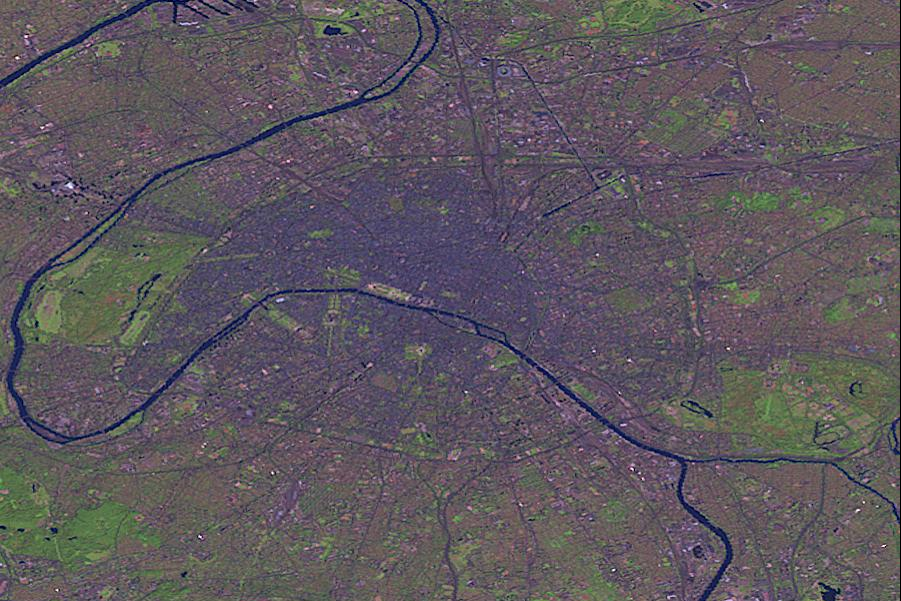
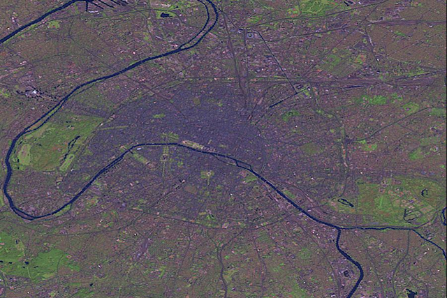
| Descripción | Paris by Landsat. | |||
| Fonte | This image was generated by the NGA Raster Roam application, at coordinates 48°51'39"N 2°20'43"E.
| |||
| Autor | Landsat |

Historial del ficheru
Calca nuna fecha/hora pa ver el ficheru como taba daquella.
| Data/Hora | Miniatura | Dimensiones | Usuariu | Comentariu | |
|---|---|---|---|---|---|
| actual | 23:49 25 och 2005 | | 901 × 601 (1,03 MB) | David.Monniaux | Paris by Landsat (false colours) {{NGA Raster Roam|latitude=48°51'39"N|longitude=2°20'43"E}} |
Usu del ficheru
La páxina siguiente usa esti ficheru:
Usu global del ficheru
Estes otres wikis usen esti ficheru:
- Usu en de.wikipedia.org
- Usu en es.wikipedia.org
- Usu en lb.wikipedia.org
- Usu en no.wikipedia.org
🔥 Top keywords: PortadaPresidente de VenezuelaDani DanielsSpecial:Mypage/FB.jsCarles PuigdemontEspecial:GuetaCory ChaseRellación sexualSieglu XXVIII e.C.Kalina de BulgariaCherie DeVilleNatasha NiceSexu seguruCleopatra VIIEspecial:CambeosRecientesCatedral de ToledoWikipedia:Portal de la comunidáWikipedia:Índiz alfabéticuSegunda Guerra MundialWikipedia:Tocante aNatalia StarrCategoría:Wikipedia:Webarchive template wayback linksSexu analWikipediaSexualidá humanaXHamsterLlista de presidentes de la Generalitat de CataluñaWikipedia:Política de nomes d'usuariuFelaciónA. J. ApplegateChloe AmourSexu oralEid al-AdhaWikipedia:AfayáivosEspecial:MiDiscusiónAbella AndersonXXXTentacionJynx MazeSexualidá anal