DescriptionIsland of Ireland location map Down.svg
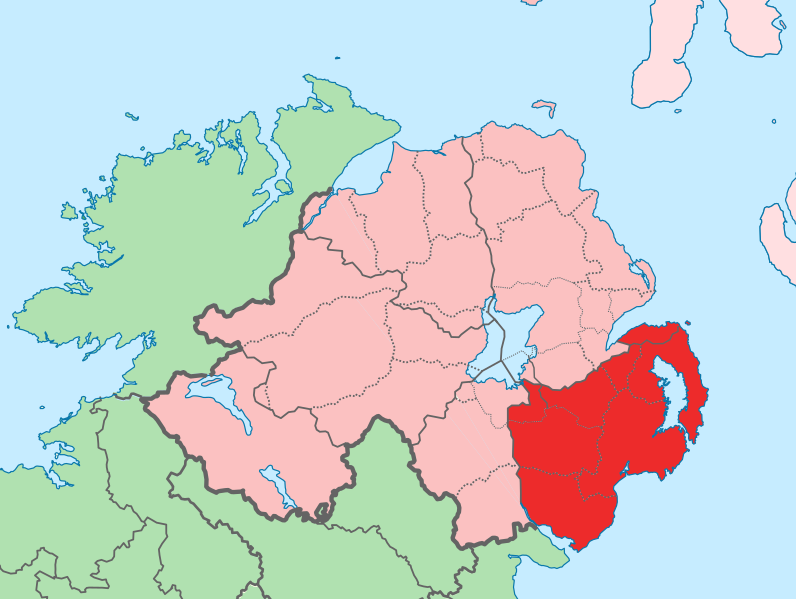
English: The island of Ireland, showing international border between Ireland and Northern Ireland, traditional provinces, traditional counties, and local authority areas in Ireland and Northern Ireland.
Cette image a été retouchée, ce qui signifie qu'elle a été modifiée par ordinateur et est différente de l'image d'origine. Liste des modifications : Added colours for specific county. L'image d'origine se trouve ici : Island of Ireland location map.svg: . Modifications effectuées par Mabuska.
Moi, en tant que détenteur des droits d’auteur sur cette œuvre, je la publie sous la licence suivante :
de partager – de copier, distribuer et transmettre cette œuvre
d’adapter – de modifier cette œuvre
Sous les conditions suivantes :
paternité – Vous devez donner les informations appropriées concernant l'auteur, fournir un lien vers la licence et indiquer si des modifications ont été faites. Vous pouvez faire cela par tout moyen raisonnable, mais en aucune façon suggérant que l’auteur vous soutient ou approuve l’utilisation que vous en faites.
partage à l’identique – Si vous modifiez, transformez, ou vous basez sur cette œuvre, vous devez distribuer votre contribution sous la même licence ou une licence compatible avec celle de l’original.
{{Information |Description={{en|The island of Ireland, showing international border between Northern Ireland and Republic of Ireland, traditional provinces, traditional counties, and local authority areas in the Republic of Ireland and Northern Ireland.}}


