

Original file (SVG file, nominally 1,574 × 1,738 pixels, file size: 836 KB)
| Title | Haryana locator map | |||||||||
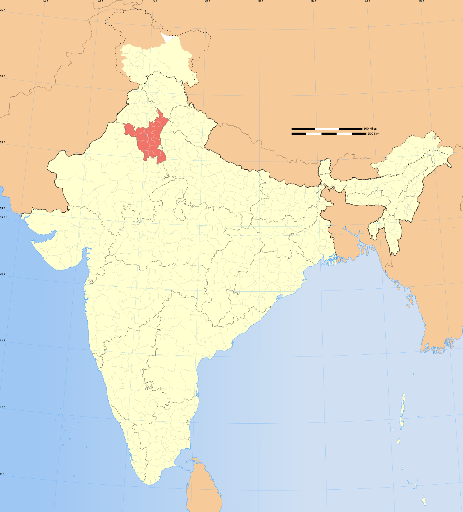
| DescriptionIndia Haryana locator map.svg | ||||||||||
| Map legend |  | |||||||||
| Date | ||||||||||
| Source | Own work | |||||||||
| Creator |
| |||||||||
| Permission (Reusing this file) | I, the copyright holder of this work, hereby publish it under the following license: This file is licensed under the Creative Commons Attribution-Share Alike 3.0 Unported license.
| |||||||||
| Geotemporal data | ||||||||||
| Date depicted | second half of 20th century and 21st century | |||||||||
| Spatial reference system | conic | |||||||||
| Bounding box |
| |||||||||
| Georeferencing | Georeference the map in Wikimaps Warper If inappropriate please set warp_status = skip to hide. | |||||||||
| Archival data | ||||||||||
| Notes | Part of WikiProject India Maps | |||||||||
| Other versions |
| |||||||||


The depicted extent of the former territory of the British Indian Empire, succeeded by Republic of India, may not be accepted by few countries as legal due to ongoing border disputes:
For a detailed map of all disputed regions in South Asia, see Image:India disputed areas map.svg
The borders of the state of Meghalaya, Assam and Arunachal Pradesh are shown as interpreted from the North-Eastern Areas (Reorganisation) Act, 1971, but has yet to be verified.
The limit of the territorial waters of India extends to twelve nautical miles measured from the appropriate baseline. See this for more information.
Click on a date/time to view the file as it appeared at that time.
| Date/Time | Thumbnail | Dimensions | User | Comment | |
|---|---|---|---|---|---|
| current | 06:46, 29 December 2008 | | 1,574 × 1,738 (836 KB) | Planemad | {{Information |Description= |Source= |Date= |Author= |Permission= |other_versions= }} |
| 17:47, 6 August 2006 |  | 1,639 × 1,852 (751 KB) | Planemad | {{WikiProject_India_Maps |Title=Haryana locator map |Description=Locator map of the state of Haryana, India with district boundaries. |Source=. |Date=August 6 2006 |Author=w:user:Nichalpw:user:Planemad |Thumbdir=CHANGE }} |
More than 100 pages use this file.The following list shows the first 100 pages that use this file only.A full list is available.
View more links to this file.
The following other wikis use this file:
View more global usage of this file.

