

Original file (SVG file, nominally 5,936 × 3,863 pixels, file size: 215 KB)
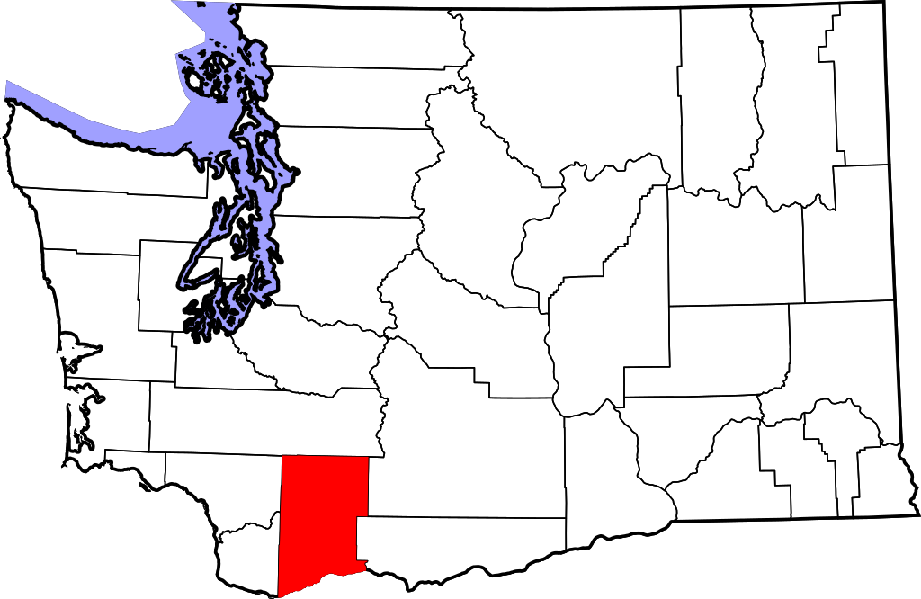
| DescriptionMap of Washington highlighting Skamania County.svg | English: This is a locator map showing Skamania County in Washington. For more information, see Commons:United States county locator maps. |
| Date | |
| Source | Own work: English: The maps use data from nationalatlas.gov, specifically countyp020.tar.gz on the Raw Data Download page. The maps also use state outline data from statesp020.tar.gz. The Florida maps use hydrogm020.tar.gz to display Lake Okeechobee. |
| Author | David Benbennick |
| Public domainPublic domainfalsefalse |
| I, the copyright holder of this work, release this work into the public domain. This applies worldwide. In some countries this may not be legally possible; if so: I grant anyone the right to use this work for any purpose, without any conditions, unless such conditions are required by law. |
Click on a date/time to view the file as it appeared at that time.
| Date/Time | Thumbnail | Dimensions | User | Comment | |
|---|---|---|---|---|---|
| current | 18:05, 12 February 2006 | | 5,936 × 3,863 (215 KB) | David Benbennick | {{subst:User:Dbenbenn/clm|county=Skamania County|state=Washington|type=county}} |
The following other wikis use this file:
View more global usage of this file.