

Original file (SVG file, nominally 1,136 × 945 pixels, file size: 149 KB)
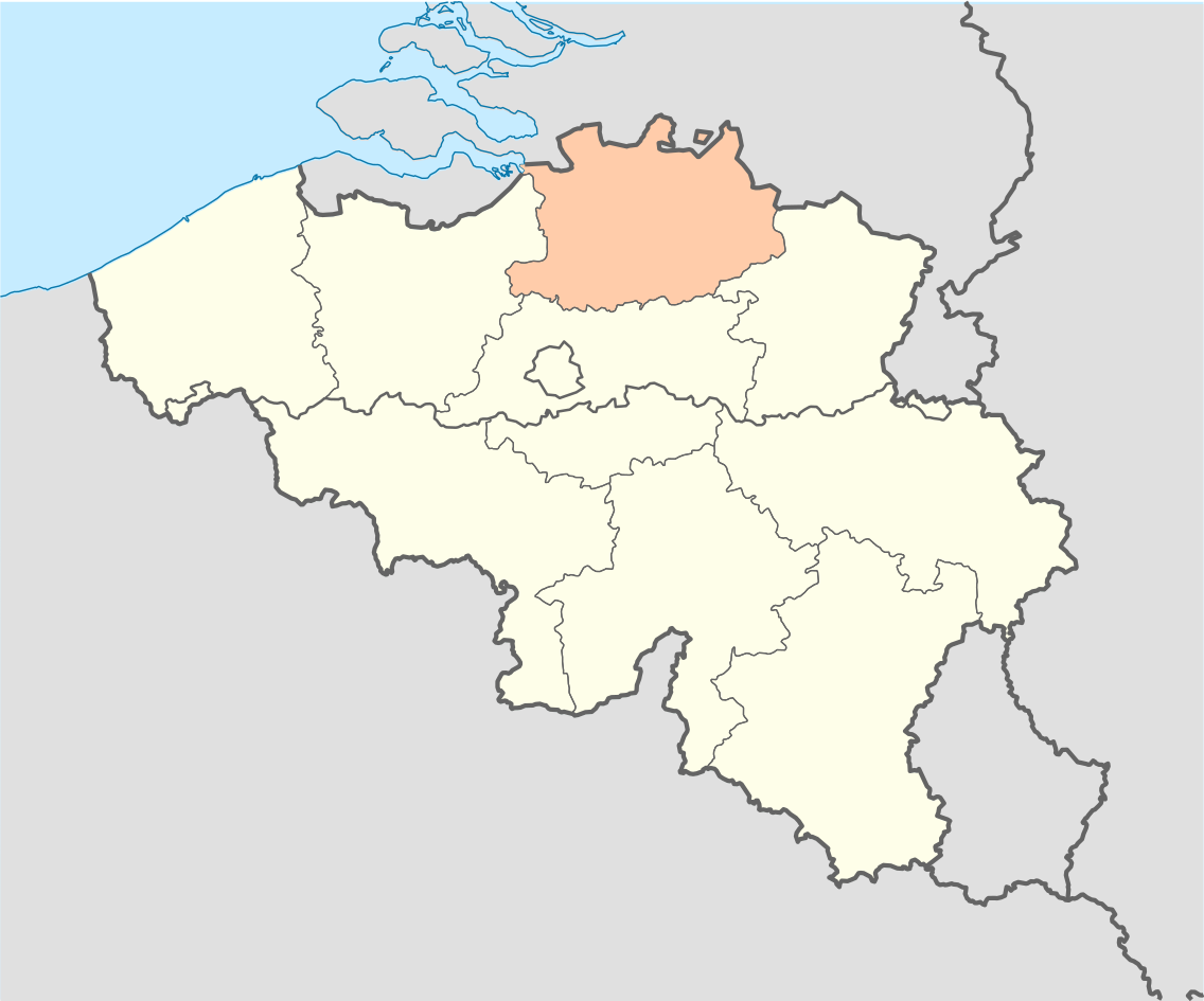
| DescriptionProvince of Antwerp (Belgium) location.svg | English: Location map of Province of Antwerp, Belgium Equirectangular projection, N/S stretching 150 %. Geographic limits of the map: * N: 51.8° N * S: 49.2° N * W: 2.2° E * E: 6.9° E Français : Localisation de la province d'Anvers, Belgique Projection equirectangulaire, N/S etirement 150 %. Limites géographiques de la cartes: * N: 51.8° N * S: 49.2° N * W: 2.2° E * E: 6.9° E |
| Source | Own work |
| Author | Vascer |
| Other versions | Belgium_location_map.svg |
 | Permission is granted to copy, distribute and/or modify this document under the terms of the GNU Free Documentation License, Version 1.2 or any later version published by the Free Software Foundation; with no Invariant Sections, no Front-Cover Texts, and no Back-Cover Texts. A copy of the license is included in the section entitled GNU Free Documentation License.http://www.gnu.org/copyleft/fdl.htmlGFDLGNU Free Documentation Licensetruetrue |
Click on a date/time to view the file as it appeared at that time.
| Date/Time | Thumbnail | Dimensions | User | Comment | |
|---|---|---|---|---|---|
| current | 17:19, 16 October 2010 | | 1,136 × 945 (149 KB) | Vascer | {{Information |Description={{en|1=Location map of Province of Antwerp, Belgium<br />Equirectangular projection, N/S stretching 150 %. Geographic limits of the map: * N: 51.8° N * S: 49.2° N * W: 2.2° E * E: 6.9° E}} {{fr|1=Localisation |
The following page uses this file:
The following other wikis use this file:
_location.svg)