Tập tin:Amazon River 95 km upstream of Tabatinga, Leticia.jpg
Kích thước hình xem trước: 800×530 điểm ảnh. Độ phân giải khác: 320×212 điểm ảnh | 640×424 điểm ảnh | 1.024×678 điểm ảnh | 1.280×848 điểm ảnh | 3.032×2.008 điểm ảnh.
Tập tin gốc (3.032×2.008 điểm ảnh, kích thước tập tin: 1,65 MB, kiểu MIME: image/jpeg)
Miêu tả
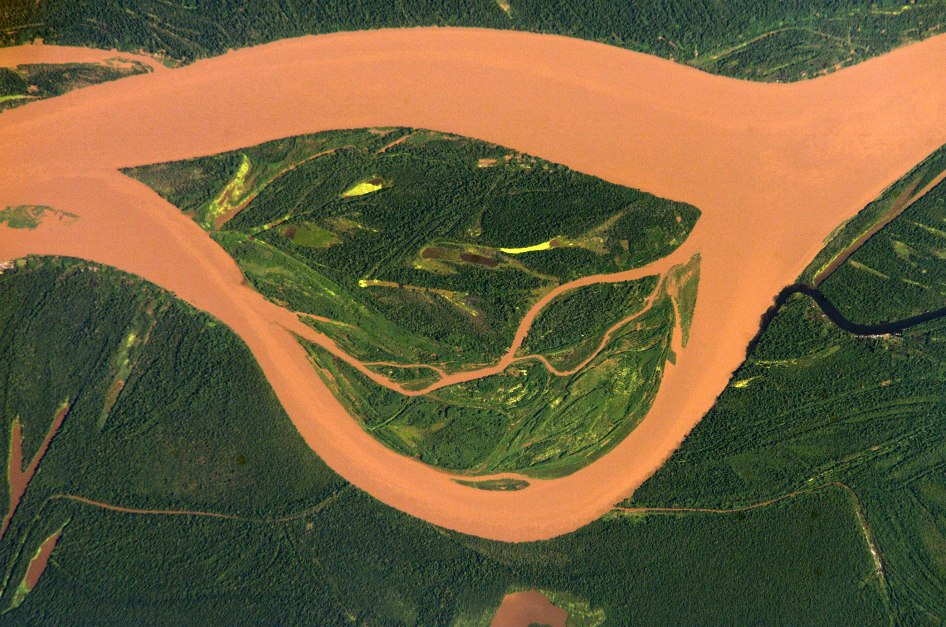
| Miêu tả | English: Amazon 95 km upstream of Tabatinga/Leticia (Frontier Colombia-Peru) Deutsch: Amazonas 95 km oberhalb von Tabatinga/Leticia (Grenze Kolumbien-Peru) Español: Río Amazonas 95 km aguas arriba de Tabatinga/Leticia (Frontera Colombia-Perú) |
| Ngày | |
| Nguồn gốc | http://eol.jsc.nasa.gov/scripts/sseop/photo.pl?mission=ISS004&roll=E&frame=12730 |
| Tác giả | ISS Expedition 4 crew member |
| Vị trí máy chụp hình | | Xem hình này và các hình ảnh lân cận trên: OpenStreetMap |
|---|
This image or video was catalogued by Johnson Space Center of the United States National Aeronautics and Space Administration (NASA) under Photo ID: ISS004-E-12730. This tag does not indicate the copyright status of the attached work. A normal copyright tag is still required. See Commons:Licensing. Other languages: |
Giấy phép
This file is in the public domain in the United States because it was created by the Image Science & Analysis Laboratory, of the NASA Johnson Space Center. NASA copyright policy states that "NASA material is not protected by copyright unless noted". (NASA media use guidelines or Conditions of Use of Astronaut Photographs).Photo source: ISS004-E-12730. |
Nhật trình tải lên đầu tiên
Trang miêu tả gốc từng tồn tại ở đây. Tất cả các tên người dùng sau là tên người dùng tại de.wikipedia.
- 2005-03-04 12:14 Managementboy 639×435× (331304 bytes) Guaviare Fluss in Kolumbien
| Annotations | This image is annotated: View the annotations at Commons |
Lịch sử tập tin
Nhấn vào ngày/giờ để xem nội dung tập tin tại thời điểm đó.
| Ngày/giờ | Hình xem trước | Kích cỡ | Thành viên | Miêu tả | |
|---|---|---|---|---|---|
| hiện tại | 14:54, ngày 13 tháng 7 năm 2014 | | 3.032×2.008 (1,65 MB) | Ras67 | cropped, colors adjusted |
| 14:52, ngày 13 tháng 7 năm 2014 |  | 3.032×2.064 (1,43 MB) | Ras67 | high resolution original | |
| 19:06, ngày 14 tháng 4 năm 2006 |  | 639×422 (104 kB) | Darwinek | ||
| 18:52, ngày 14 tháng 4 năm 2006 |  | 639×435 (324 kB) | Inge-Lyubov~commonswiki | *{{en|Guaviare River in Colombia}} *{{de|Guaviare Fluss in Kolumbien}} *Earth Sciences and Image Analysis, NASA-Johnson Space Center. 30 Apr. 2003. "Astronaut Photography of Earth - Display Record." http://eol.jsc.nasa.gov/scripts/sseop/photo.pl?mission= |
Trang sử dụng tập tin
Có 1 trang tại Wikipedia tiếng Việt có liên kết đến tập tin (không hiển thị trang ở các dự án khác):
Sử dụng tập tin toàn cục
Những wiki sau đang sử dụng tập tin này:
- Trang sử dụng tại azb.wikipedia.org
- Trang sử dụng tại fa.wikipedia.org
- Trang sử dụng tại fr.wikipedia.org
- Trang sử dụng tại it.wikipedia.org
- Trang sử dụng tại lt.wikipedia.org
- Trang sử dụng tại nl.wikipedia.org
- Trang sử dụng tại pl.wikipedia.org
- Trang sử dụng tại pt.wikipedia.org
- Trang sử dụng tại sr.wikipedia.org
- Trang sử dụng tại zh.wikipedia.org
Đặc tính hình
🔥 Top keywords: Đài Truyền hình Kỹ thuật số VTCTrang ChínhGiỗ Tổ Hùng VươngTrương Mỹ LanĐặc biệt:Tìm kiếmHùng VươngVương Đình HuệUEFA Champions LeagueKuwaitChiến dịch Điện Biên PhủFacebookĐài Truyền hình Việt NamTrần Cẩm TúĐội tuyển bóng đá quốc gia KuwaitGoogle DịchViệt NamCúp bóng đá U-23 châu ÁCúp bóng đá U-23 châu Á 2024Real Madrid CFBảng xếp hạng bóng đá nam FIFACleopatra VIITô LâmTim CookNguyễn Phú TrọngHồ Chí MinhHai Bà TrưngManchester City F.C.VnExpressChủ tịch nước Cộng hòa xã hội chủ nghĩa Việt NamNguyễn Ngọc ThắngĐền HùngCúp bóng đá trong nhà châu Á 2024Võ Văn ThưởngOne PieceLịch sử Việt NamCuộc đua xe đạp toàn quốc tranh Cúp truyền hình Thành phố Hồ Chí Minh 2024Phạm Minh ChínhTikTokĐinh Tiên Hoàng