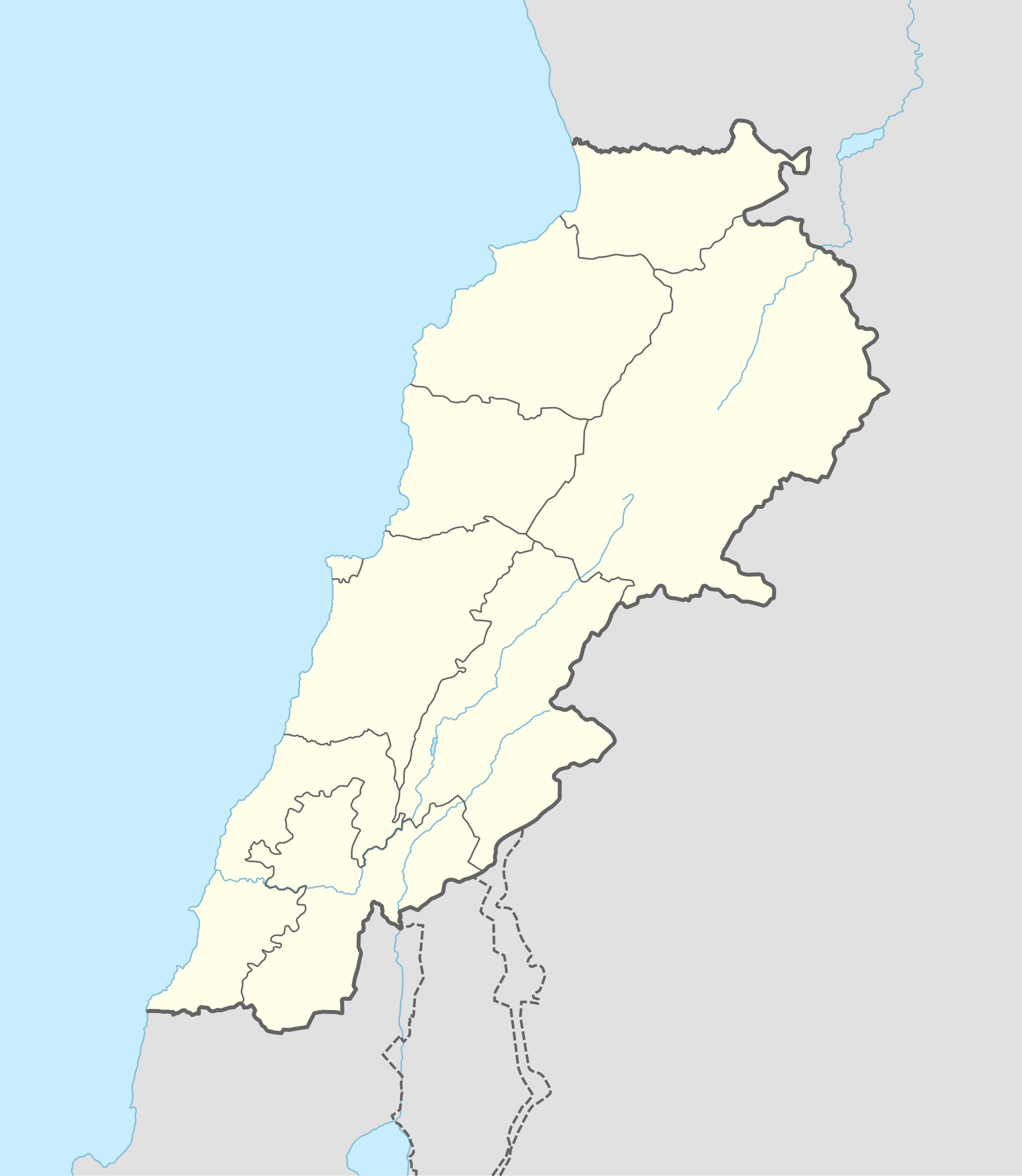
模組:Lebanese insurgency detailed map/doc
这是Module:Lebanese insurgency detailed map的文档页面
Template:SCW&ISIL sanctions
For quick reference, this module is transcluded on the following:
- Template:Lebanese insurgency detailed map
- Template:Syrian, Iraqi, and Lebanese insurgencies detailed map
- Template:Middle East conflicts detailed map
Dot size for cities & towns
Dot size for cities & towns (that are not provincial capitals) is based on the 2004 census (last available census):
- Under 5,000 is size 6
- 5000 to 19,999 is size 8
- 20,000 to 49,999 is size 10
- 50,000 to 99,999 is size 12
- Above 100,000 is size 14
Hold cursor over location to display name
2 nested circles: inner controls, outer sieges // 3 nested circles: mixed control with stable situation // Small icons within large circle: situation in individual neighbourhoods/districts
 Under control of the Lebanese Government forces
 Under control of Lebanese Communist Party or Fatah or Syrian rebels in Lebanon
 Under control of Hezbollah, PFLP-GC and allies (east)/ Israeli Government forces (south)
 Under control of the Islamic State of Iraq and the Levant
 Under control of Sunni militants and al-Nusra Front
Contested:
 Lebanese Government–Hezbollah and PFLP-GC (east)/Israel (south)
 Lebanese Government–ISIL
 Lebanese Government-Lebanese Communist Party/Fatah/Syrian rebels
 Hezbollah and PFLP-GC–ISIL
 Lebanese Government–Sunni militants/al-Nusra Front
 Hezbollah and PFLP-GC–Sunni militants/al-Nusra Front
 Sunni militants/al-Nusra Front–Lebanese Communist Party/Fatah/Syrian rebels
 Lebanese Communist Party/Fatah/Syrian rebels in Lebanon–Hezbollah and PFLP-GC
 Lebanese Communist Party/Fatah/Syrian rebels in Lebanon–ISIL
 Sunni militants/al-Nusra Front–ISIL
Other
 Military base
 Airport/Air base (jet)
 Airport/Air base (helicopter)
 Major port or naval base
 Border Post
 Dam
Dam Industrial complex
2 nested circles: inner controls, outer sieges // 3 nested circles: mixed control with stable situation // Small icons within large circle: situation in individual neighbourhoods/districts


