File:Map of Sherman Co, Ks, USA.png

Size of this preview: 800 × 593 pixels. Other resolutions: 320 × 237 pixels | 640 × 475 pixels | 1,024 × 760 pixels | 1,146 × 850 pixels.
Original file (1,146 × 850 pixels, file size: 318 KB, MIME type: image/png)
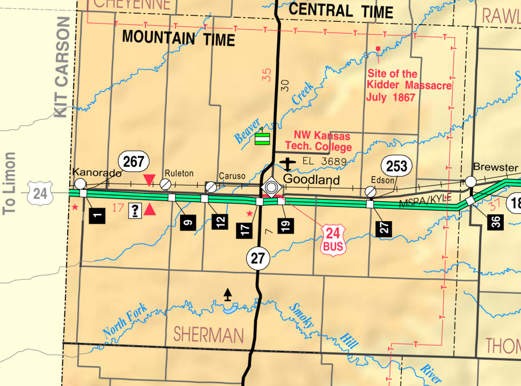
Summary
| Description | This map of Sherman County, Kansas, USA, is copied at a resolution of 300 pixels/inch from the original PDF file. |
| Date | |
| Source | Kansas 2005–2006 Official Transportation Map [1] (map legend) |
| Author | Designed and published by the Kansas Department of Transportation. |
| Permission (Reusing this file) |
Licensing
| This work has been released into the public domain by its author, Kansas Department of Transportation. This applies worldwide. In some countries this may not be legally possible; if so: Kansas Department of Transportation grants anyone the right to use this work for any purpose, without any conditions, unless such conditions are required by law. |
This map is published by the Kansas Department of Transportation and is distributed to the public free of charge. KDOT makes no warranties, guarantees, or representations for accuracy of this information and assumes no liability for errors or omissions. Maps produced using tax payer dollars are free for public use.
File history
Click on a date/time to view the file as it appeared at that time.
| Date/Time | Thumbnail | Dimensions | User | Comment | |
|---|---|---|---|---|---|
| current | 18:30, 10 June 2006 | | 1,146 × 850 (318 KB) | Moverton | Source: Kansas 2005-2006 Official Transportation Map {{PD-US}} |
File usage
The following 3 pages use this file:
Global file usage
The following other wikis use this file:
- Usage on azb.wikipedia.org
- Usage on en.wikipedia.org
- Usage on mr.wikipedia.org
- Usage on ur.wikipedia.org
🔥 Top keywords: Main PageSpecial:SearchModule:Track gauge/dataSOLID (object-oriented design)Wikipedia:AboutHelp:ContentsHelp:IntroductionSpecial:RecentChangesPornhubBlackAdolf Hitler UunonaFile:ASCII-Table-wide.svgList of constituencies of the Lok SabhaList of U.S. states and territories by time zoneSchrödinger's catList of U.S. states by date of admission to the UnionFile:Sexual intercourse with internal ejaculation.webmHeera MandiList of people who have walked on the MoonDavid24-hour clockModule:Emoji/dataLawrence WongCristiano RonaldoPeriodic tableList of countries by areaUnited StatesCategory:2000s American music groupsList of U.S. statesBismillahir Rahmanir RaheemList of fruitsQueen (band)Special:MyTalkXXXTentacionWikipedia:Contact usHelp:Authority controlWikipedia:Simple talkList of countries by continentsWikipedia:Simple start