

原本檔案 (SVG檔案,表面大細: 1,425 × 1,039 像素,檔案大細:765 KB)
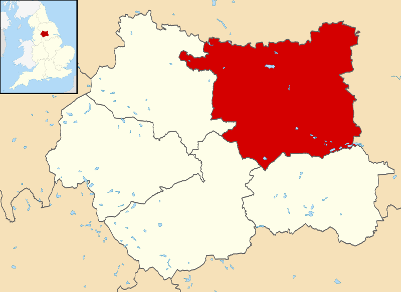
| 描述Leeds UK locator map.svg | Map of West Yorkshire, UK with Leeds highlighted. Equirectangular map projection on WGS 84 datum, with N/S stretched 165% |
| 日期 | |
| 來源 | Ordnance Survey OpenData. Most data from Boundary-Line product. Lake data from Meridian 2 product. Inset derived from England location map.svg by Spischot. |
| 作者 | Nilfanion, created using Ordnance Survey data |
| 許可 (重用呢個檔案) | 呢個檔案用共享創意 姓名標示-非商業性-相同方式分享3.0 未本地化版本條款授權。 姓名標示: Contains Ordnance Survey data © Crown copyright and database right
|
撳個日期/時間去睇響嗰個時間出現過嘅檔案。
| 日期/時間 | 縮圖 | 尺寸 | 用戶 | 註解 | |
|---|---|---|---|---|---|
| 現時 | 2013年9月1號 (日) 21:01 | | 1,425 × 1,039(765 KB) | Nilfanion | {{Information |Description=Map of West Yorkshire, UK with Leeds highlighted. Equirectangular map projection on WGS 84 datum, with N/S stretched 165% |Source=Ordnance Survey [https://www.ordnancesurvey.co.uk/o... |
以下嘅1版用到呢個檔:
下面嘅維基都用緊呢個檔案:
呢個檔案有額外嘅資料。佢應該係數碼相機或者掃描器整出來嘅。如果佢整咗之後畀人改過,裏面嘅資料未必同改過之後相符。
| 闊 | 1425 |
|---|---|
| 高 | 1039 |