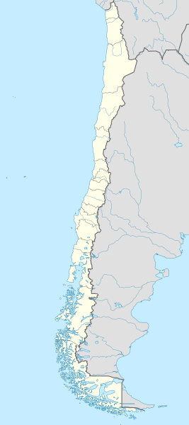
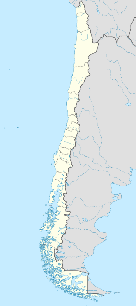
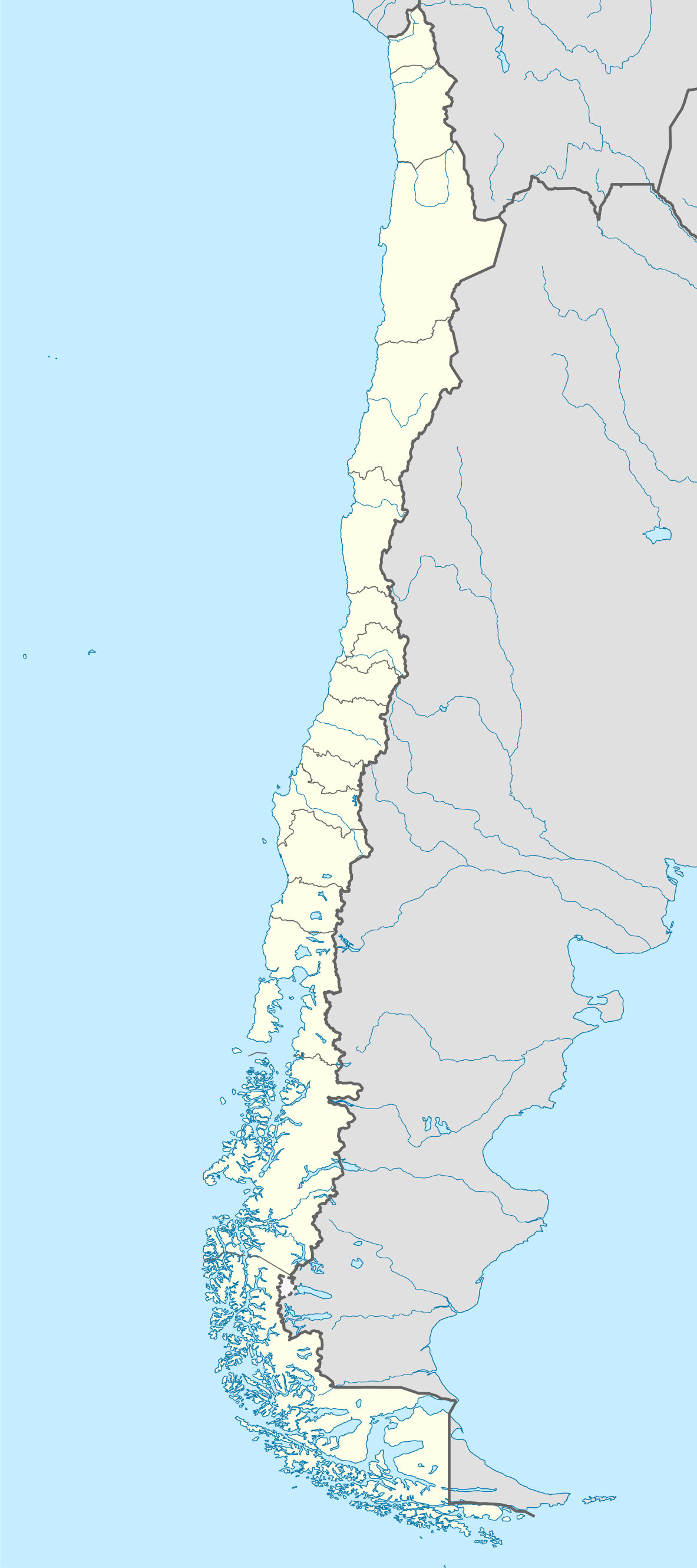
File:Chile location map.svg

Size of this PNG preview of this SVG file: 267 × 600 pixels. Other resolutions: 107 × 240 pixels | 213 × 480 pixels | 342 × 768 pixels | 455 × 1,024 pixels | 911 × 2,048 pixels | 1,183 × 2,658 pixels.
Original file (SVG file, nominally 1,183 × 2,658 pixels, file size: 925 KB)
Summary
| Description | Deutsch: Positionskarte von Chile Quadratische Plattkarte, N-S-Streckung 115 %. Geographische Begrenzung der Karte:
English: Location map of Chile Equirectangular projection, N/S stretching 115 %. Geographic limits of the map:
Español: Mapa de localización de Chile Proyección Equirectangular, N/S con una extensión de 115 %. Límites geográficos del mapa:
|
| Date | |
| Source | own work, using
|
| Author | NordNordWest |
| Other versions | Derivative works of this file:
|
.svg)
.svg)
.svg)
.svg)
 | This map has been made or improved in the German Kartenwerkstatt (Map Lab). You can propose maps to improve as well. |
Licensing
I, the copyright holder of this work, hereby publish it under the following licenses:
 | Permission is granted to copy, distribute and/or modify this document under the terms of the GNU Free Documentation License, Version 1.2 or any later version published by the Free Software Foundation; with no Invariant Sections, no Front-Cover Texts, and no Back-Cover Texts. A copy of the license is included in the section entitled GNU Free Documentation License. |
This file is licensed under the Creative Commons Attribution-Share Alike 3.0 Unported license.
- You are free:
- to share – to copy, distribute and transmit the work
- to remix – to adapt the work
- Under the following conditions:
- attribution – You must give appropriate credit, provide a link to the license, and indicate if changes were made. You may do so in any reasonable manner, but not in any way that suggests the licensor endorses you or your use.
- share alike – If you remix, transform, or build upon the material, you must distribute your contributions under the same or compatible license as the original.
You may select the license of your choice.
File history
Click on a date/time to view the file as it appeared at that time.
| Date/Time | Thumbnail | Dimensions | User | Comment | |
|---|---|---|---|---|---|
| current | 22:46, 15 August 2023 | | 1,183 × 2,658 (925 KB) | Janitoalevic | Fixed Aysén & Magallanes and Chilean Antarctica Regions border. |
| 22:54, 5 September 2018 |  | 1,183 × 2,658 (925 KB) | Janitoalevic | Ñuble Region | |
| 20:30, 3 December 2017 |  | 1,183 × 2,658 (921 KB) | Janitoalevic | color error. | |
| 20:28, 3 December 2017 |  | 1,183 × 2,658 (921 KB) | Janitoalevic | Fixed Argentina's Lake Nahuel Huapi | |
| 20:25, 3 December 2017 |  | 1,183 × 2,658 (920 KB) | Janitoalevic | . | |
| 21:50, 2 December 2017 |  | 1,183 × 2,658 (920 KB) | Janitoalevic | Fixed Argentina-Bolivia border | |
| 21:46, 2 December 2017 |  | 1,183 × 2,658 (920 KB) | Janitoalevic | . | |
| 00:42, 30 August 2017 |  | 1,183 × 2,658 (919 KB) | Janitoalevic | Fixed size | |
| 23:30, 20 August 2017 |  | 1,262 × 2,835 (910 KB) | Janitoalevic | Removed Ñuble Region (Will be fully implemented in 2018) | |
| 01:00, 20 August 2017 |  | 1,262 × 2,835 (914 KB) | Janitoalevic | Added Ñuble Region & more precise borders |
File usage
The following 65 pages use this file:
- 2015 Copa América
- Antofagasta Province
- Arauco Province
- Arica
- Arica Province
- Bío Bío Province
- Cachapoal Province
- Calama
- Castro
- Cauquenes Province
- Cautín Province
- Chañaral
- Chañaral Province
- Choapa Province
- Colchagua (historical province)
- Colchagua Province
- Concepción
- Concón
- Copiapó Province
- Curicó
- Curicó Province
- Diego de Almagro, Chile
- El Loa
- El Ranco
- Elqui Province
- Huasco Province
- Illapel
- Iquique
- Iquique Province
- Lautaro, Chile
- Limarí Province
- Linares, Chile
- Linares Province
- Los Andes, Chile
- Los Andes Province, Chile
- Los Ángeles, Chile
- Malleco Province
- Marga Marga Province
- Melipilla
- Monte Águila
- Nacimiento, Chile
- Ovalle
- Parinacota Province
- Petorca Province
- Punta Arenas
- Quillota
- Quillota Province
- Quilpué
- Quirihue
- Rancagua
- San Antonio, Chile
- San Antonio Province
- San Felipe, Chile
- San Felipe de Aconcagua Province
- Santiago, Chile
- Talca Province
- Tamarugal Province
- Tocopilla
- Tocopilla Province
- Tomé
- Valdivia Province
- Villarrica, Chile
- Ñuble Province (1974–2018)
- Module:Location map/data/Chile
- Module:Location map/data/Chile/doc
Global file usage
The following other wikis use this file:
- Usage on af.wikipedia.org
- Antofagasta
- Pichilemu
- FIFA Sokker-Wêreldbekertoernooi in 1962
- Chillán
- Los Ángeles (Chili)
- Talcahuano
- Quinta Normal
- Temuco
- Puerto Montt
- Punta Arenas
- Coyhaique
- Valdivia
- Castro (Chili)
- San Pedro de la Paz
- Villa Alemana
- Sjabloon:Liggingkaart Chili
- Penco
- Hualpén
- Chiguayante
- Hualqui
- Coronel (Chili)
- Lota
- Tomé
- La Serena
- Arica
- Monte Águila (Chili)
- Arturo Merino Benítez Internasionale Lughawe
- Usage on als.wikipedia.org
- Usage on an.wikipedia.org
View more global usage of this file.
Metadata
🔥 Top keywords: Main PageSpecial:Search0Slash (punctuation)BlackSpecial:RecentChanges4 (number)DavidSOLID (object-oriented design)Wikipedia:AboutFile:Sexual intercourse with internal ejaculation.webmHelp:ContentsHelp:IntroductionLisa Sparxxx2023 UEFA Champions League FinalColour24-hour clockAdolf Hitler UunonaBismillahir Rahmanir Raheem6 (number)T. N. SeshanFile:ASCII-Table-wide.svg20 (number)Poor Things (movie)United StatesCristiano RonaldoList of people who have walked on the MoonAli Malikov50 (number)17 (number)The Valley (2024 TV series)GrassList of mathematical symbolsList of U.S. states and territories by time zone8 (number)List of countries by areaWikipedia:Simple talkList of largest Hindu templesRama